What's New
Updated app
Ability to add personal markers to the map
App Description
All you need for using the metro in one app. Look up the next scheduled train, locate your nearest stop, find travel times and directions and much more.
● KEY FEATURES ●
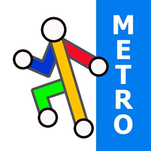
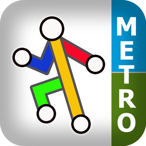
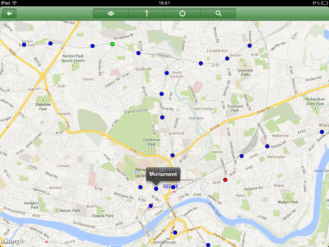
● Colourful clear map with major geographical features and places of interest.
● View the map, look up places of interest, plan your journey, etc, all without an internet connection.
● Unique "Travel Explorer" feature provides a view of travel times and distances to any location on the map.
● Clear route text itinerary with step by step instructions.
● Save and recall favourite and recent journeys.
● Easily locate your nearest transport stop.
● Online street map integration (internet connection required).
● View next scheduled train and service advisories (internet connection required).
● OVERVIEW ● The Tyne & Wear Metro - Map and route planner by Zuti makes it easy to travel in and around the Tyne and Wear area using the metro. The map provides a simple and colourful view of the transport services with the ability to switch to an online street map view when an internet connection is available. This provides the best of both worlds, the transport map and route planning anytime, anywhere and the online street map and extended search when a connection is available.
● TRAVEL EXPLORER ● The unique travel explorer feature provides a view of travel times using transport or on foot and distances to any location on the map. This is helpful for getting a sense of scale and connectivity of the transport system and can provide some interesting results. For example is it quicker to use the metro to travel from Manors to Haymarket or is it quicker on foot? (Hint, the quickest route will keep you fitter). No other application makes it so easy to get around on the public transport and allow you to make travel decisions based on the actual distances and travel times on foot.
● ROUTING ● The application does not require an internet connection and will always be available to display a clear and detailed view of the city transport systems, plus list and animate the optimum route for your journey. It also provides the fastest route calculations of any mobile routing application (virtually instantaneous) using published journey times and the ability to select the quickest route or the route with the fewest changes.
Comprehensive details of your planned route are provided, including changes, directions of travel, number of stops, predicted journey times, etc. Uniquely this application gives you “direction”, “towards” and “service frequency” information (not available in most other offline journey planners) for example “Take the Green line (Southbound) towards Yarrow for 10 mins (6 stops). Service runs every 7 minutes” which is essential when finding the correct platform and connection.
● NO INTERNET CONNECTION REQUIRED ● The map and routing feature do not require an internet connection and you will not be charged data connection fees. This means the application saves on battery power and runs perfectly underground or on an aeroplane, etc. For international visitors to a city who have data roaming turned off this is an ideal solution.
● LIVE INFO ● When an internet connection is available "Live Information" on the current state of the transport services can be viewed allowing you to plan your journeys in advance and avoid any potential delays. Also you can now view the next scheduled train for any of the metro stops.
● MORE MAPS ● This map is one in a series of Zuti worldwide city maps, if you like this product you may also enjoy some of our other offerings, please visit www.zuti.co.uk for further information.
iPhone Screenshots
(click to enlarge)


iPad Screenshots
(click to enlarge)


App Changes
- June 14, 2014 Initial release
- June 08, 2015 New version 3.2
Other Apps From Visual IT Ltd