
What's New
This app has been updated by Apple to use the latest Apple signing certificate.
Version 6.8.9
Sapporo, Hokkaido (1918)
Hakodate, Hokkaido (1927)
Aizu Wakamatsu (1945)
Nagoya, Aichi (1895)
4 maps were added.
App Description
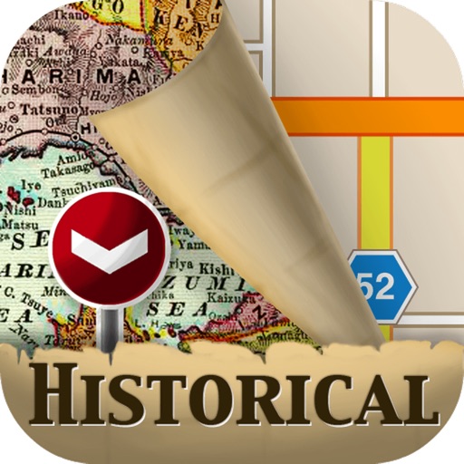
Stroly - Historic is a great iPad app for the history map lovers!
[OVERVIEW]
Ever wondered how your city looked 100 years ago? This application will show your location on beautifully illustrated historic maps.
[App Features]
The user's current location is shown on over 30 high resolution maps from all over the world. Because we synchronize every single illustrated map to the current maps by hand, we are able to supply you with the most accurate location possible. To make it easy to compare your location on the Historic Maps and the current maps, you can switch between those maps without leaving the app.
To give you the best experience of strolling through history, we have included many Historical Landmarks and Points of Interest.
With the featured over 30 high resolution maps from all over the world, you can compare and contrast the historic maps with the current maps
There will be upgrades of the app with more maps in the future.
(iPhone users, please check Stroly - Historic .)
"Stroly" is the series of apps that shows your current GPS locations on historic maps.
With Stroly you can stroll around on any kind of historic and illustrated maps.
If you are interested in collaborating with us on historic maps, please visit our website.
[Maps on the App]
World 1736, Europe North Down 1501, North and South America 1670, Japan 1707,
Kyoto in Heian Period 1750, Tokyo in Edo Period 1844 and four other Tokyo maps,
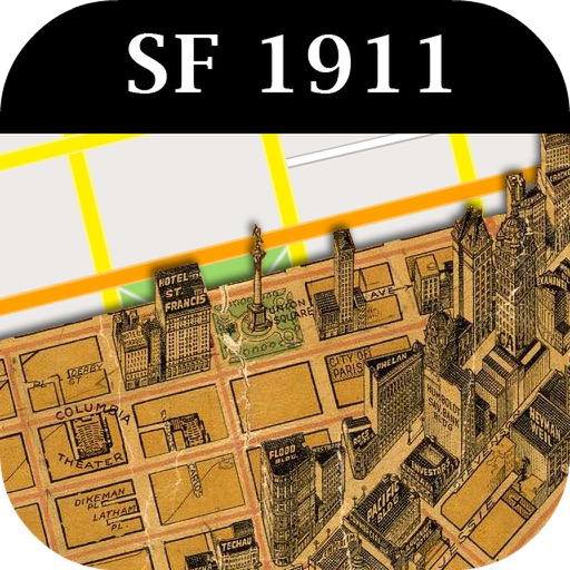
Nihonbashi,Tokyo in Edo Period 17th century, The mock painted picture of the great Osaka 1924, Nagasaki Tojin-Yashiki 1688, Nagasaki 1764, North and South America 1649, USA 1929, San Francisco 1878, Philadelphia 1802, St. Louis 1876, New York 1909, California 1885, Toronto 1733, Cuba 1853, London 1843, Rome 1882, Madrid 1883, Berlin 1860, Paris 1872, Geneva 1841, Amsterdam 1835, Australia 1851, New Zealand 1851, Japan 1897, World 1800
The David Rumsey Historical Map Collection ("The David Rumsey Historical Map Collection" categories has provided a list), International Research Center for Japanese Studies Map Collection, and Buyodo Corporation Map Collection, are provided with high definition images.
【NOTICE】
1. Stroly shows your location using GPS. Using Stroly on iPodTouch or iPad WiFi might not show accurate current position.
2. No modification is done to the description of original maps used in
this app.
3. We cannot guarantee 100% accuracy of the maps and locations because
of the distortion of the original maps and the GPS accuracy. We would
like you to enjoy the original uncertainty of the historical maps.
4. We have no intention of violating human rights by disclosing the
historical maps.
iPad Screenshots
(click to enlarge)


App Changes
- October 18, 2011 New version 5.01
- November 06, 2012 New version 6.0
- December 10, 2012 New version 6.01
- November 16, 2013 New version 6.02
- December 06, 2013 New version 6.021
- March 06, 2014 Price decrease: $2.99 -> FREE!
- March 08, 2014 Price increase: FREE! -> $2.99
- October 12, 2014 New version 6.1.1
- November 03, 2014 New version 6.1.2
- January 27, 2015 New version 6.2.3
- July 02, 2015 New version 6.3.4
- July 02, 2015 Price decrease: $2.99 -> FREE!
- August 01, 2015 New version 6.3.5
- October 21, 2015 New version 6.4.6
- November 11, 2015 New version 6.5.6
- February 24, 2016 New version 6.5.7
- June 30, 2016 New version 6.5.8
- November 07, 2016 New version 6.6.8
- December 22, 2016 New version 6.7.8
- June 13, 2019 New version 6.8.9
Other Apps From Stroly Inc.