
What's New
- Updated the maps to include the recent name changes in Yosemite National Park
App Description
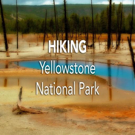
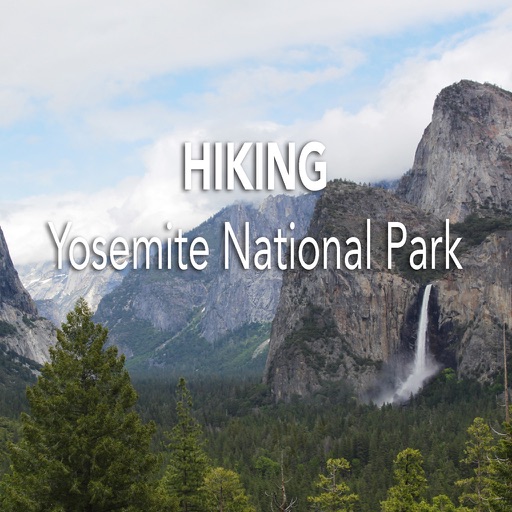
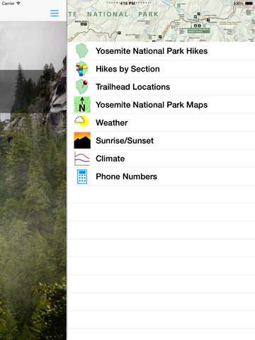
For those that love the great outdoors and dream of hiking in Yosemite National Park, this application is for you. It provides easy-to-use day hike information for more than 50 day hikes in the park.
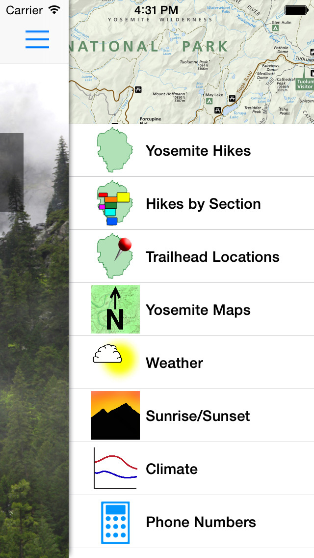
The many detailed hiking maps can be panned and zoomed to make it easy to route your trek.
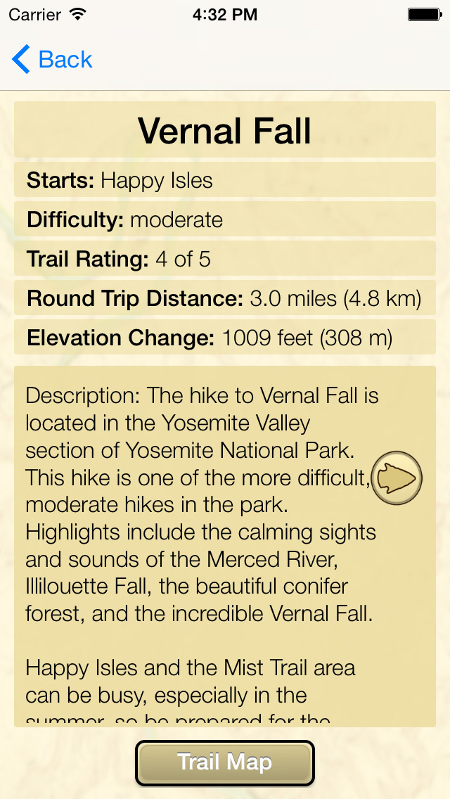
Features for each hike:
-trailhead information
-hiking distance
-elevation change
-trail difficulty
-trail rating
-trail description
-trail map
-vertical profiles for the strenuous hikes
The app also includes climate and weather information, so you can plan your adventure for the right time of year.
All this information is contained within the app. The only data that is obtained via the internet is the radar, weather forecast, and one map - the satellite base for the “Trailhead Locations” map.
Even if you aren't heading to Yosemite in the next few days, using this app allows you to envision the day when you get a chance to look out from Glacier Point to Half Dome or hike up to the tallest waterfall in the North America, Yosemite Fall.
This is not a GPS app.
iPhone Screenshots
(click to enlarge)


iPad Screenshots
(click to enlarge)


App Changes
- June 24, 2011 New version 3.2
- May 04, 2012 New version 4.0
- August 04, 2012 New version 4.2
- May 25, 2013 New version 6.0
- December 21, 2013 New version 7.0
- February 06, 2015 New version 8.0
- November 08, 2015 New version 9.0
- December 06, 2015 New version 9.1
- March 18, 2016 New version 9.2
Other Apps From TUA Outdoors, LLC