


What's New
Graphics and performance related enanchement
App Description
That's our video tutorial
https://www.youtube.com/watch?v=Yli6-mUx7yY&feature=youtu.be
Especially designed for:
- Architects and Engineers
- Real Estate professionals (Agency, Advisory, Management)
- Construction companies
° Working OFFLINE
Work everywhere without internet connection, save battery and sync when you want.
° Easy to use
Import the map as base (take picture or load file). Insert your point of view and take photos.
° Automatic Archiving
Work quickly and without worries. App automatically numbers your shoots and associate images.
° Data protection
All data are stored only on your devices. You are the unique owner of maps and photos.
° Export & PDF Report
Export your data as a PDF report or Editable (encrypted) by sending an email or using a USB cable.
° Compatibility
Software compatible with every mobile and desk OS (Windows, IOS, Android, ecc..)
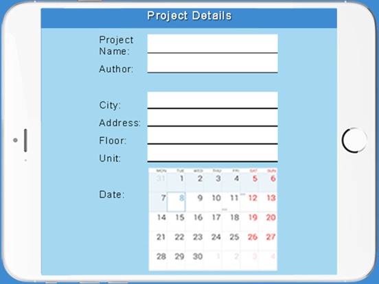
iPhone Screenshots
(click to enlarge)


iPad Screenshots
(click to enlarge)


App Changes
- April 21, 2018 Initial release
- June 14, 2019 New version 1.2