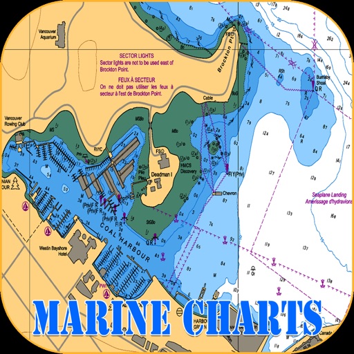

App Description
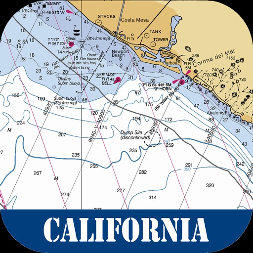
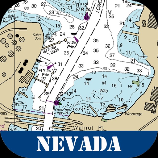
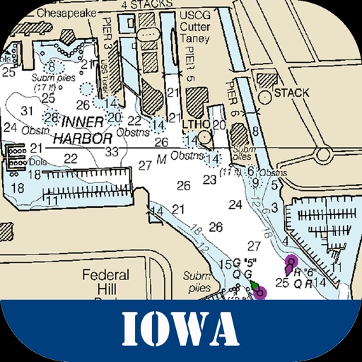
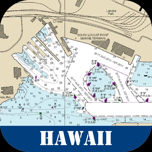
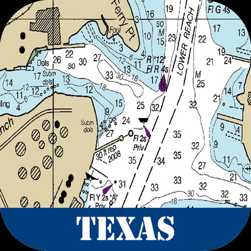
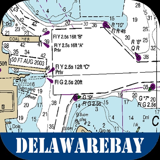
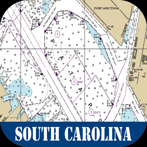
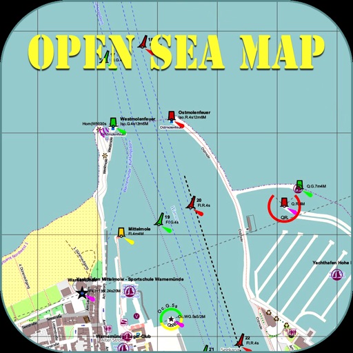
Nautical information such as seamarks and nautical lights are shown on OpenSeaMap.
Also shows details about the harbor, traffic routes, and much more.
App Functionality:
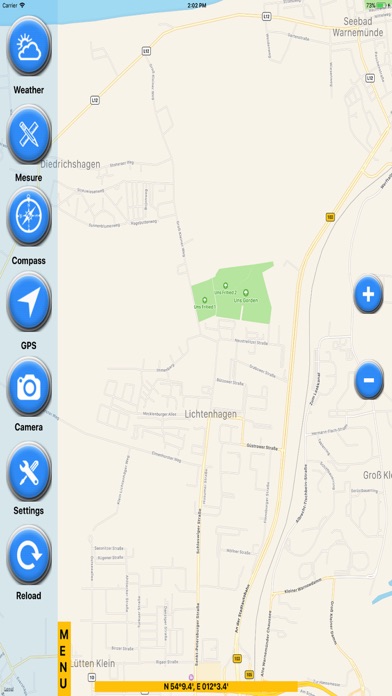
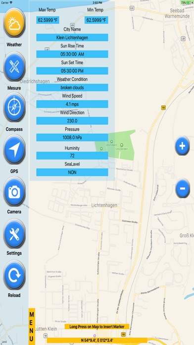
GPS
Settings (units/Compass/Favorites..)
Weather (Current conditions)
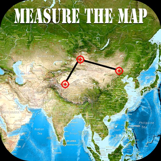
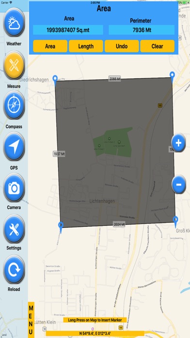
Measure (Area/Length)
GPS Info (Lat/Lon Speed..)
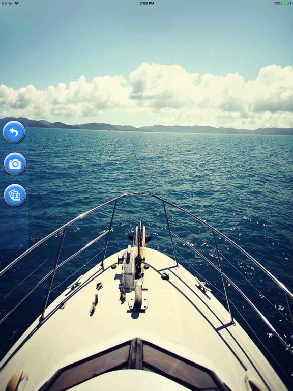
Camera (Photo/video)
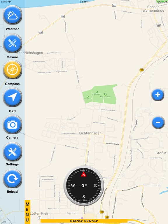
Compass
Functionality:
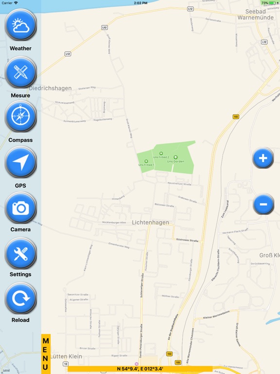
- Free worldwide sea chart
- Exact GPS location - Determine your location automatically.
- Change map modes
- Change units
- Display Compass ( True / Magnetic ) Values
- Know the weather conditions of any place
- Measure area/length on the Charts
- take pictures using camera
- Share on social media or through mails
- Zoom IN/OUT
User Friendly Design
Developer with latest technology
Fully Functional App
Universal app (supports all devices)
share with everybody through instant messaging clients and email
All the cool features & updates are available with no restrictions & ads
Disclaimer:
App is not for navigation
App needs a fast Internet connection 3g,4g or wifi.
OpenSeaMap is part of OpenStreetMap.
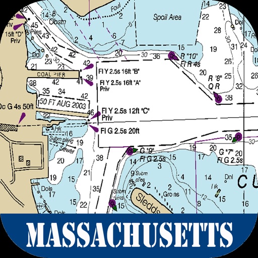
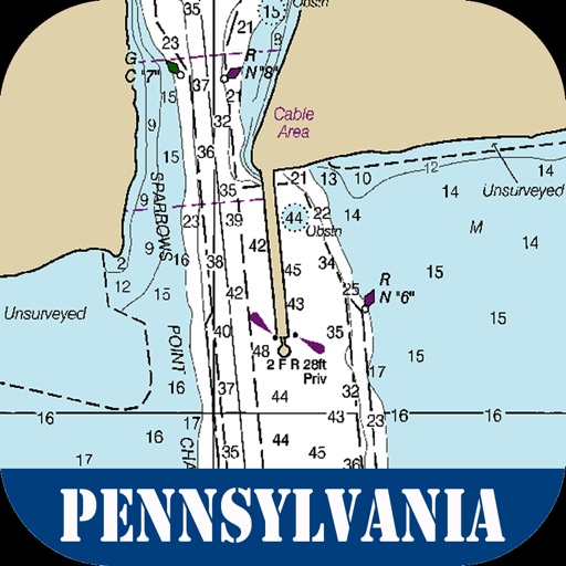
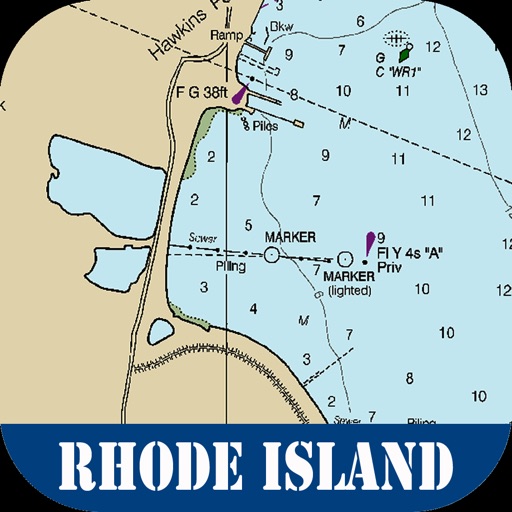
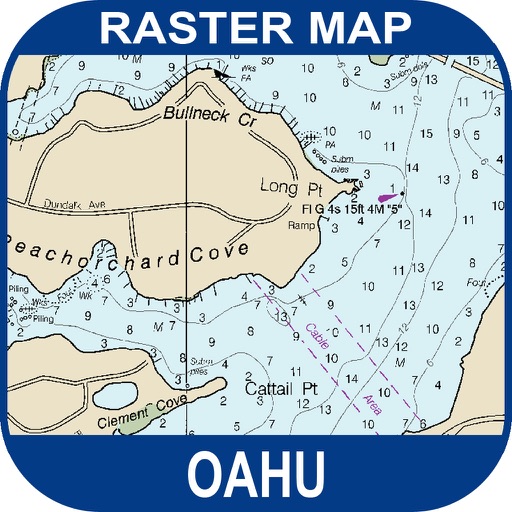
iPhone Screenshots
(click to enlarge)


iPad Screenshots
(click to enlarge)


App Changes
- May 06, 2018 Initial release
- May 09, 2018 Price decrease: $2.99 -> $1.99
Other Apps From Mac George Roberts