
App Description
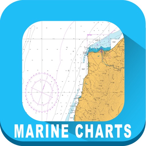
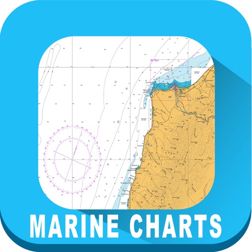
A nautical chart is a work area on which the navigator plots courses, ascertains positions, and views the relationship of the ship to the surrounding area.
Raster Charts contain all critical corrections published in notices to mariners since the last new edition of the chart was released, as well as any newly compiled routine changes
Map Features:
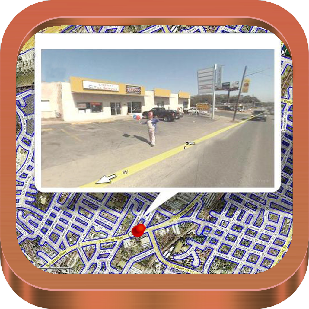
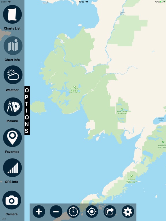
Interactive map that enables users to locate, view, and download Navigational Charts
Use GPS to locate real-time vessel positioning.
Raster Navigational Charts can be used with global positioning system (GPS).
Easy to use map overlay
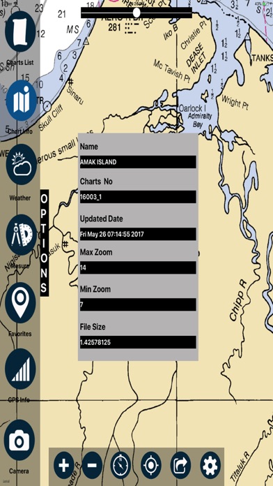
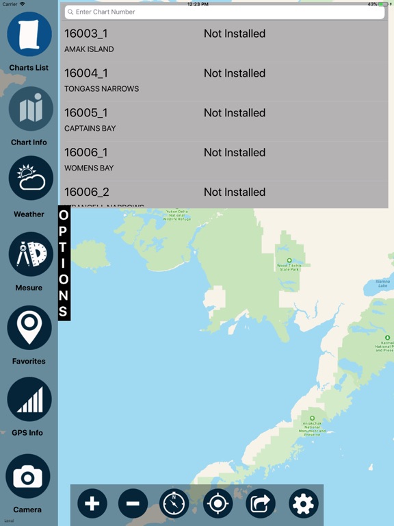
List of charts covering the Areas (Select by Chart No.)
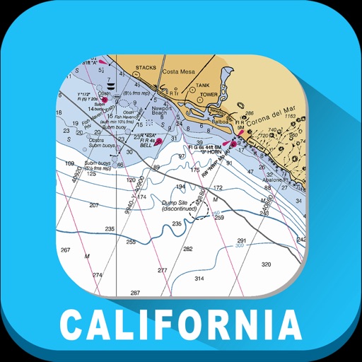
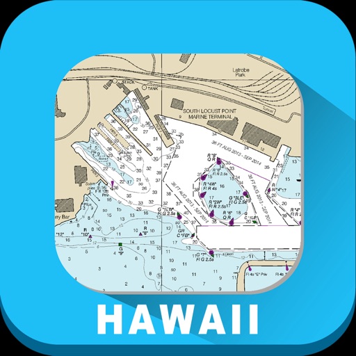
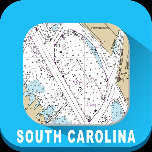
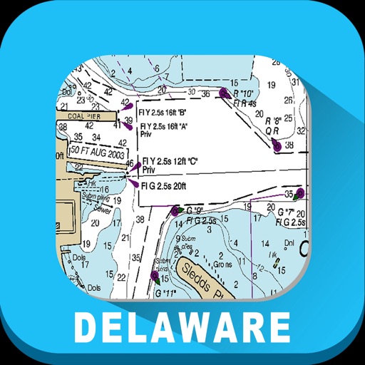
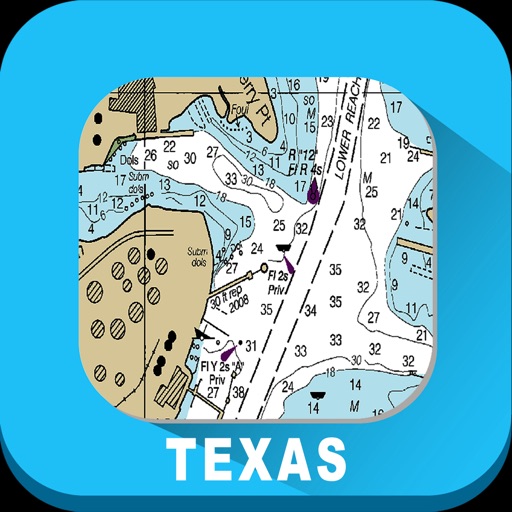
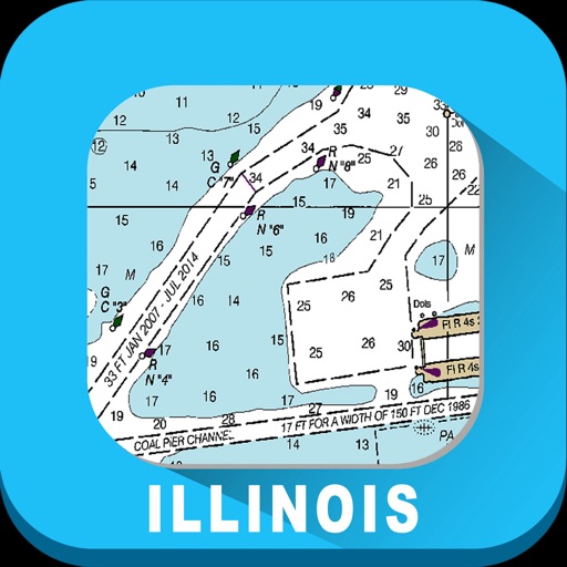
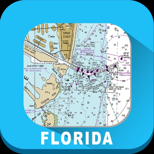
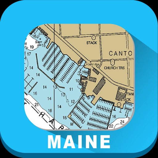
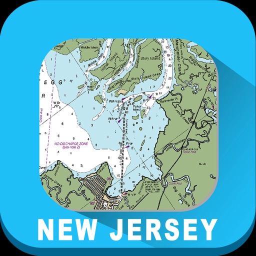
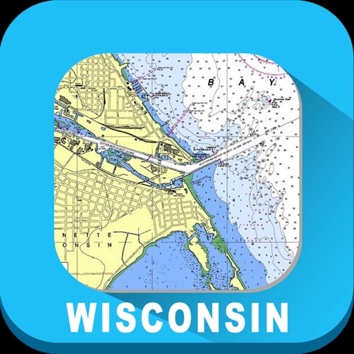
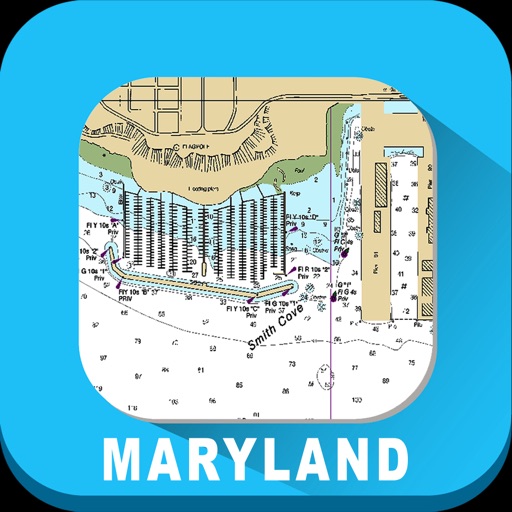
All raster charts portray water depths, coastlines, dangers, aids to navigation, landmarks, bottom characteristics and other features.
Charts show water depths and the delineation of shoreline, prominent topographic features and landmarks, aids to navigation, and other navigational information.
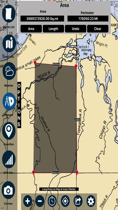
Find Area & distance on map
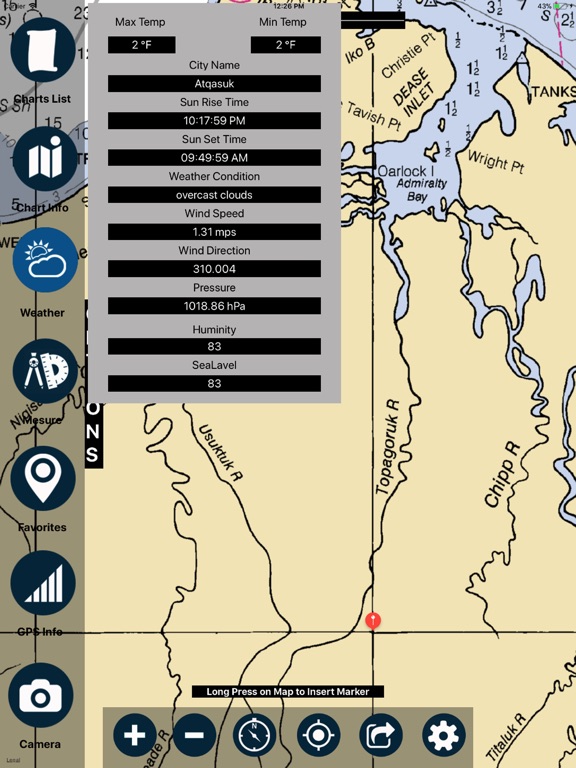
Weather information of particular location
Adjust transparency accordingly between raster chart & map
Add favourite location
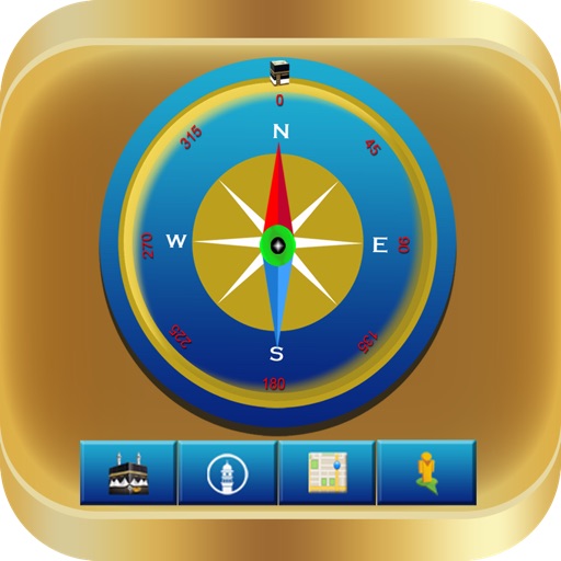
Compass to check direction
Experience realtime enthusiasm of boating, Sailing & Fishing with the real-time NOAA's Raster Nautical Charts Overlay.
Disclaimer:
This app is for reference purpose only (not for Navigation)
Internet connection is required to avail features in the app
Continued use of GPS running in the background can dramatically decrease battery life.
iPhone Screenshots
(click to enlarge)


iPad Screenshots
(click to enlarge)


App Changes
- March 24, 2018 Initial release
Other Apps From VIDUR IT TECHNOLOGIES PRIVATE LIMITED