
App Description
Accurate, simple to use Satellite Map based Pennsylvania tide charts of the all NOAA based Pennsylvania tide stations on a simple to use satellite map. Designed by Pennsylvania fishermen and Professional Pennsylvania Fishing Guides.
NO SPAM ADS, SIMPLE TO USE...100% AD FREE.
Other Features:
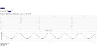
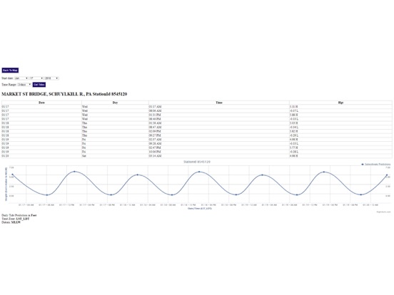
Ability to forecast Pennsylvania tides from NOAA by setting date and period for any of the tidal stations for the entire State of Pennsylvania tide tables.
Excellent support for any issues, questions or new features...simply email: [email protected] and we'll show you how Apple support is meant to be.
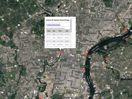
Auto-save last location for easy reference to your last tide station the next time you use the tide app.
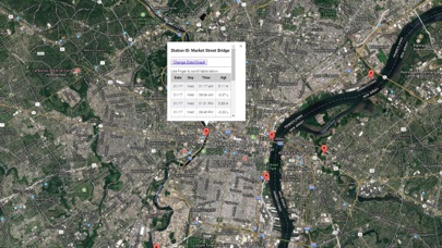
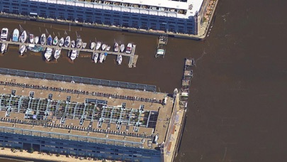
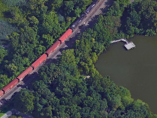
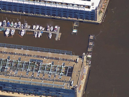
Included is the ability to zoom and view satellite imagery for fishing ground characteristics to compare with tide movement.
Advanced tide graphs allow for you to judge the level of water movement for optimal fishing between high and low tide in Pennsylvania between tide stations so you can follow the tide flow for the entire day.
Recent Feedback:
"NesTides ability to display tide predictions and actual tidal flow graphs allow me to extend fishing trips by following different tide station tide charts and moving with the tide flow. The satellite view allows me to explore and discover new fishing grounds I never knew existed. Absolutely the best fishing software tool I have ever used. ," said USCG Captain Mike K.
Pennsylvania Tide Chart stations include (partial list see website for full list):
Marcus Hook, Pa.,Bridgeport, Raccoon Creek, N.J.,Wanamaker Bridge,Norwood City,Tinicum National Wildlife Refuge,Tinicum National Wildlife Refuge,Billingsport, N.J.,Paulsboro, Mantua Creek, N.J.,Mantua, Mantua Creek, N.J.,Woodbury Creek, N.J.,Penrose Avenue Bridge,Market Street Bridge,Westville, Rt. 47 bridge, Big Timber Creek, N.J.,Philadelphia, Municipal Pier 11, Pa.,PHILADELPHIA, US Coast Guard Station, Pa.,Pavonia, Cooper River, RR. bridge, N.J.,Bridesburg, Philadelphia, Pa.,Palmyra, Pennsauken Creek, Route 73 bridge, N.J.,Pompeston Creek, N.J.,Bridgeboro,North Branch,Hainesport, South Branch,Cornwells Heights, Pa.,Burlington, N.J.,Assiscunk Creek, Route 130 bridge, N.J.,Edgely, Pa.,Fieldsboro, N.J.,Newbold, Pa.,Trenton, N.J.
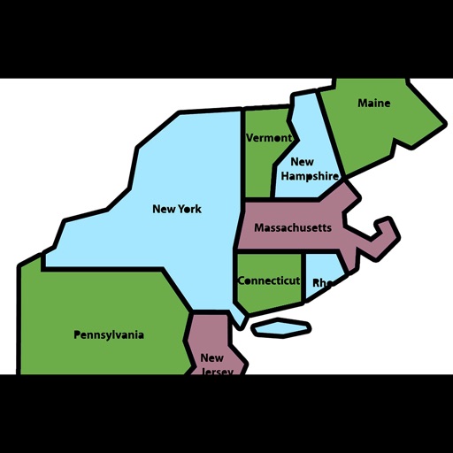
iPhone Screenshots
(click to enlarge)

iPad Screenshots
(click to enlarge)
App Changes
- January 20, 2018 Initial release
- January 20, 2018 Price increase: $0.99 -> $4.99
- June 13, 2019 Price increase: $4.99 -> $9.99
- June 13, 2019 Price increase: $4.99 -> $9.99
- June 14, 2019 Price increase: $4.99 -> $9.99
- June 14, 2019 Price increase: $4.99 -> $9.99
- June 15, 2019 Price increase: $4.99 -> $9.99
- June 15, 2019 Price increase: $4.99 -> $9.99
- June 16, 2019 Price increase: $4.99 -> $9.99
Other Apps From Progress Technologies Inc