
What's New
Support for iPhone X.
Extended features: Show speed units as knots (In app purchase).
Augmented reality plus: Extended view range by 50% (In app purchase).
Bug fixes.
App Description
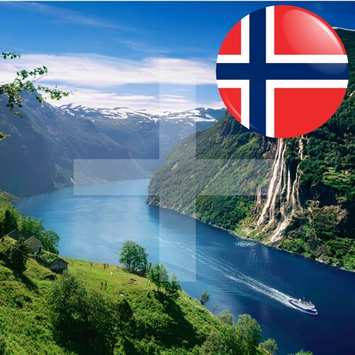
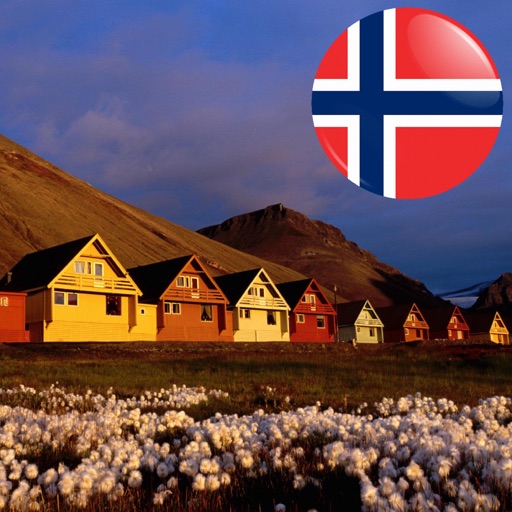
"In Sight - Svalbard+ offline" contains high resolution offline maps of Svalbard, Bear Island and Jan Mayen down to a scale of 1: 35 000. (Requires 3.5 GB of space). If you need a more space efficient alternative, take a look at our app "In Sight - Svalbard" instead.
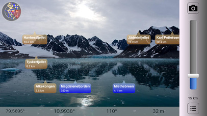
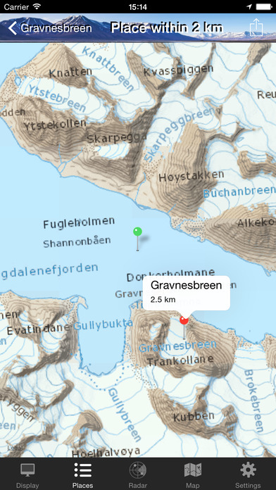
What is the name of the mountain you can see in the distance? What are the lakes you see in front of you? Point there with In Sight Svalbard+ and you'll see on the screen what they are called. See also places nearby with amazing high-resolution maps. High resolution offline maps of Svalbard, Bear Island and Jan Mayen are used down to a scale of 1:35 000. (Requires 3.5 GB of space).
* Offline Augmented Reality in Svalbard *
(Svalbard, Bear Island and Jan Mayen)
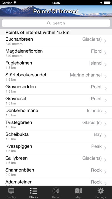
See what's near you where you travel in Svalbard: Mountains, Lakes, Places, Buildings, etc. You don't even have to be nearby Svalbard: You can manually set your location to a place in Svalbard to pretend you are there. Decide if you want to see places nearby, or famous cities around the world.
Works everywhere: By the sea, in the mountains, in the city. Without the internet, without coverage.
Turn the phone sideways to view on the camera screen the places that are nearby. Take a picture or record a video of what you see and share on social media, directly from the App!
You can also add your own places!
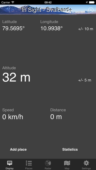
In Sight Svalbard+ is also an altimeter, speedometer and also estimates the distance you've traveled. Choose between metric (km, meter) or imperial (miles, feet) units.
All data is built into the App, so you don't need internet. You only need internet when you use the map or share a picture or video on social media. High-resolution maps don’t require internet.
Select between the following map types: Standard, Satellite, Hybrid and High Resolution. High resolution maps are provided by the Norwegian Polar Institute (Norsk Polarinstitutt).
In Sight Svalbard+ relies on the compass and GPS of your device. Best results are achieved if you are outside.
Note: If your device doesn't have a built-in compass, you cannot see the places as camera overlays (3rd generation iPod touch, iPhone 3G or older models). You can still see the places in lists and on the map.
EXTRA FEATURES (available as in-app purchases):
* Fullscreen mode: Switch between normal, hybrid and fullscreen.
* Selfie mode: See places nearby with front facing camera.
* Video recording: Record what you see and share with friends.
* Extended features: Show speed units as knots.
* Augmented reality plus: Extended view range by 50%. Search radius increased from 80 to 120 km (50 to 75 miles). Up to 5000 points of interest are displayed.
Source: ws.geonames.org under the Creative Commons Attribution 3.0 License (http://creativecommons.org/licenses/by/3.0/)
High resolution maps from the © Norwegian Polar Institute (http://geodata.npolar.no) are licensed under the Creative Commons Attribution 4.0 international (CC BY 4.0) (https://creativecommons.org/licenses/by/4.0/)
iPhone Screenshots
(click to enlarge)

App Changes
- July 18, 2017 Initial release
- June 14, 2019 New version 1.2
- June 14, 2019 Price increase: $2.99 -> $4.99
- June 16, 2019 Price increase: $2.99 -> $4.99
Other Apps From AppsFab AS