
What's New
Compatibility with latest iOS
App Description
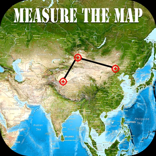
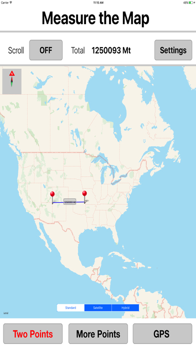
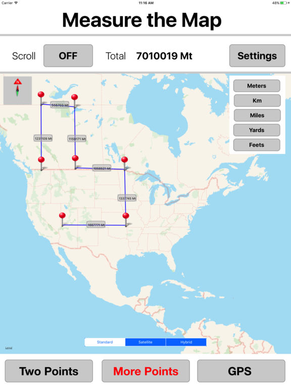
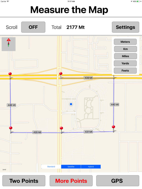
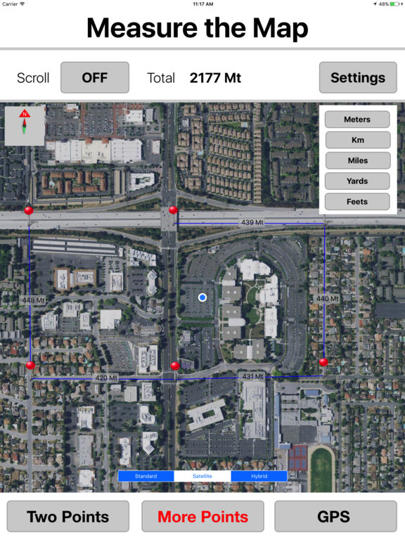
Measure the Map tool is a simple app to of find the distance between two or more points on a map.
Simply tap on map at 2 different or required location, app displays distance automatically.
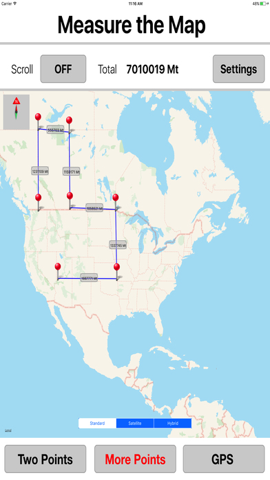
Tap at more than two points in order to build up a continuous route to get distance/area.
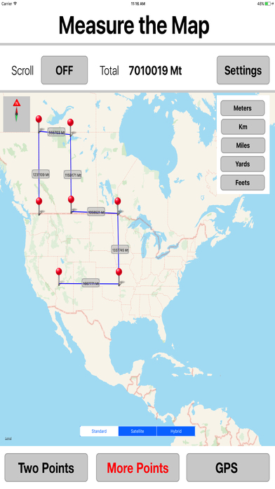
Support multi units (Meters / miles / km / yards / Feet)
Edit the position of any existing points by dragging the marker.
Measure distances, areas, perimeters quickly & easily with highest precision.
Calculate anything you need for field work without having to go to the spot to take measurements.
Calculate or measure the required spot over satellite images.
Measure the Map is a powerful, portable measuring tool in your device for daily needs.
All the features & updates are available with no restrictions & ads
Disclaimer:
App is not for navigation
App needs a fast Internet connection 3g,4g or wifi.
No guarantees for the correctness of the conversions.
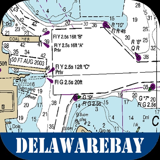
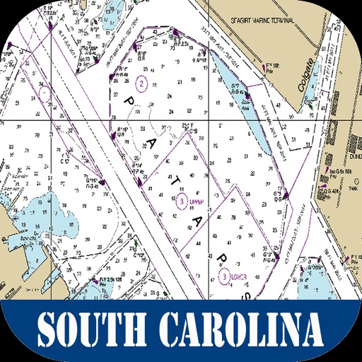
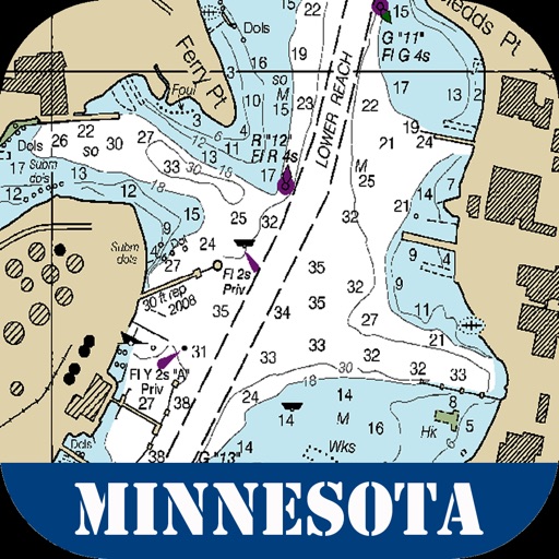
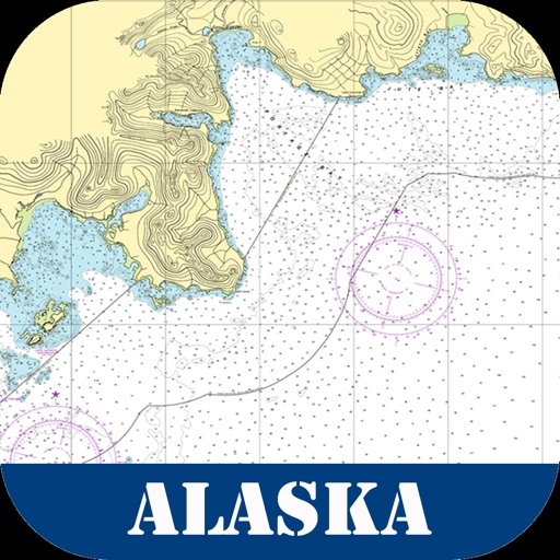
iPhone Screenshots
(click to enlarge)


iPad Screenshots
(click to enlarge)


App Changes
- June 08, 2017 Initial release
- June 14, 2019 New version 1.1
Other Apps From Mac George Roberts