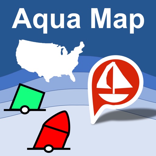

App Description
An app to satisfy all your Fishing and Boating's needs, developed with the help of professional fishermen.
You will be able to download the best nautical charts and enjoy your new fishing season. Press the RECORD button, put the phone in your pocket and record your fishing trolling track....and much more.
►► Features:
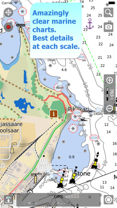
• Amazingly clear nautical charts, thanks to the Retina technology usage.
• User friendly user interface.
• Optimized battery usage with battery consumption monitoring; up to 14 hours continuous track.
• You can download maps (for FREE, no additional purchase is required) on the device, to be used later without any internet connection.
• Full coverage Estonia Nautical charts.
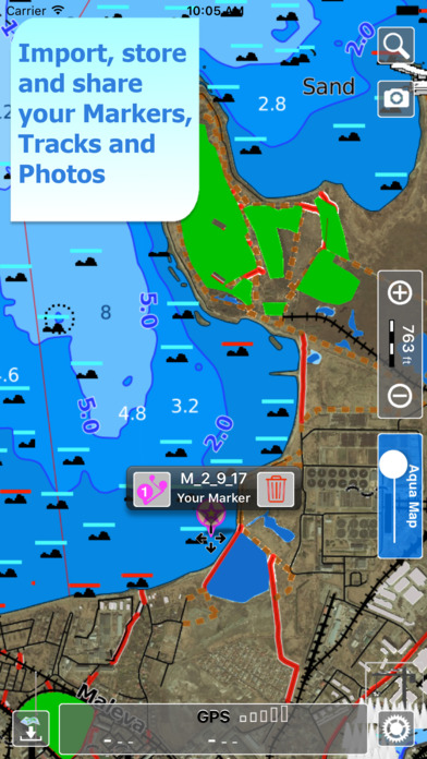
• Store your tracks.
• Share tracks, markers and pictures in various formats (KMZ and GPX).
• Store an unlimited number of tracks and markers.
• Switch between Map display modes (Offline, Satellite, Roads).
• Measure distances on the map.
• Load any track and marker from internet communities (KMZ, KML, GPX also if zipped)
• Query map objects with your finger tip
• Search map objects around you, around a point, search places by name worldwide
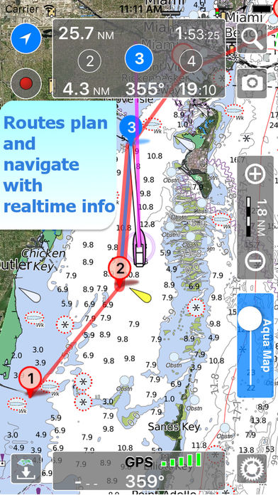
• Plan and navigate your ROUTE
• ActiveCaptain community integration
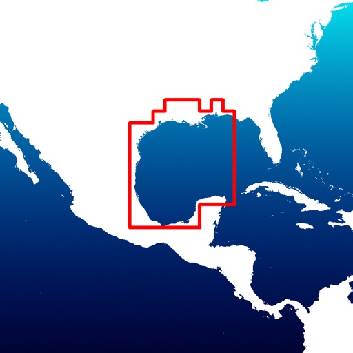
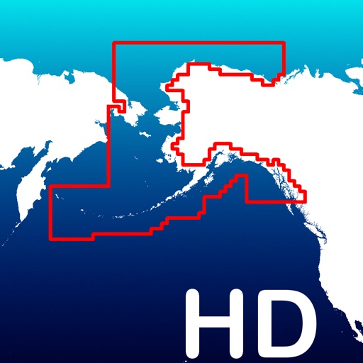
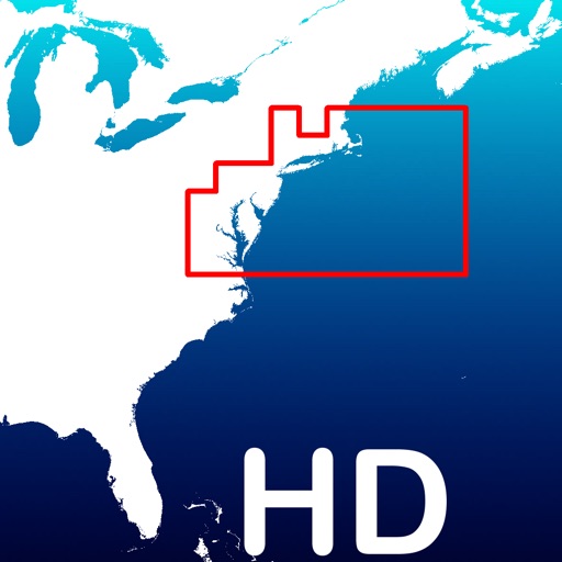
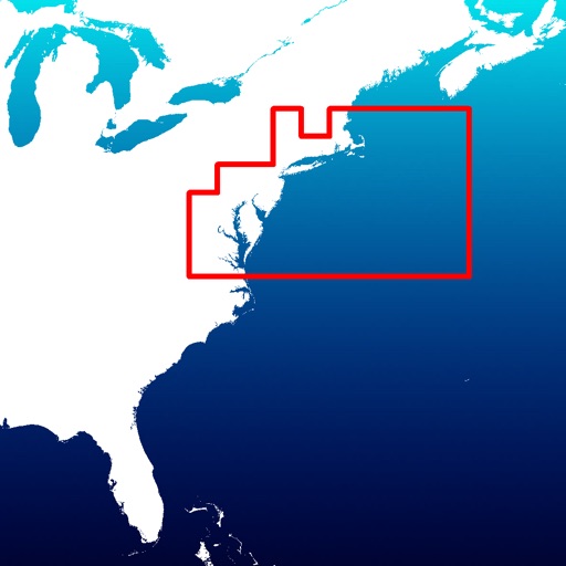
► MAPS
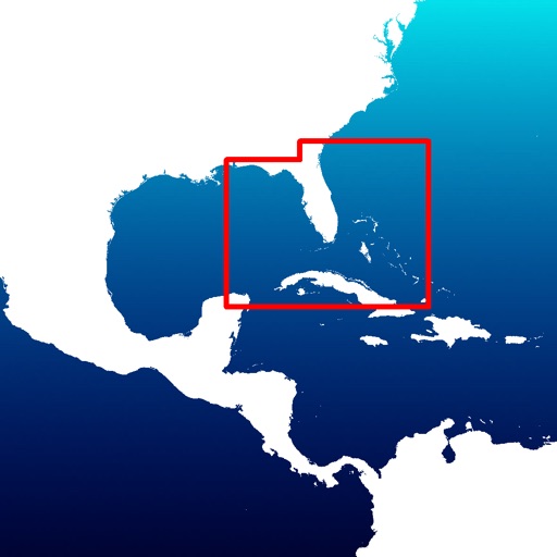
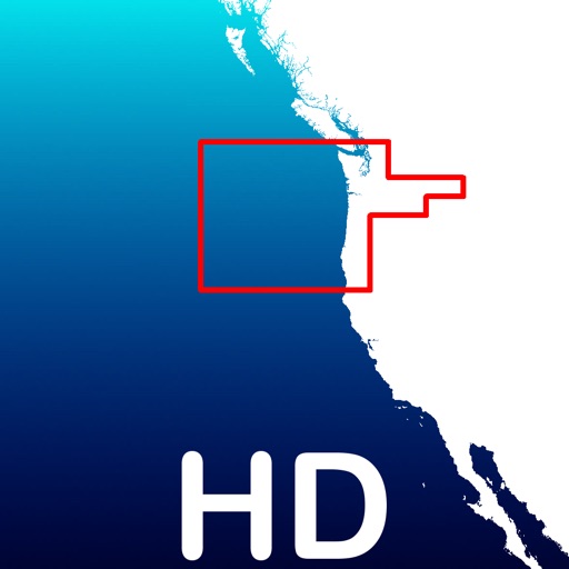
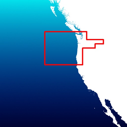
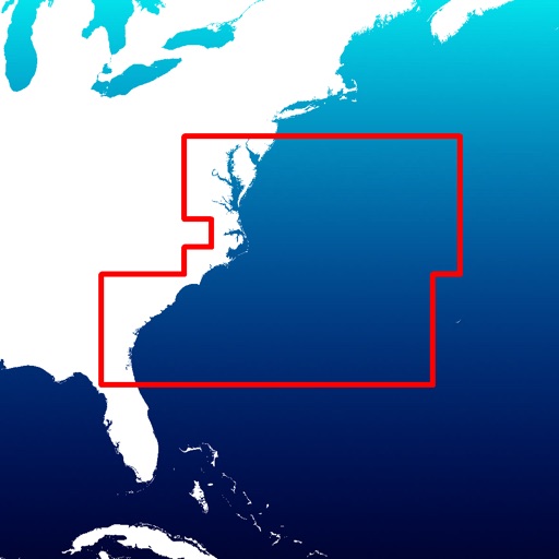
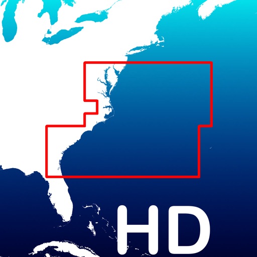
Aqua Map lets you download - for FREE!! - the best Estonia Nautical charts (from MAE) with depth contours, buoys, lights, etc. and all it is necessary to enjoy your best fishing experience. No additional purchase is required. You can download the maps at home within your device and then use them on the boat without any Internet connection need.
► SHARING
Share your favorite's markers on Facebook or send an email with your last daily track, with all the pictures you captured (Note 2) to show them on Earth or Maps.
► LOADING OTHER's TRACKS AND MARKERS
Aqua Map can load any KML, KMZ, GPX (also zipped) you can find over the internet or receive from your friends. You can load tracks and markers generated from any application (e.g. Google EarthTM, Maps, or other iPhone/iPad apps), obviously including Aqua Map, or any device (e.g. Garmin Etrex, Nuvi, Magellan, etc.).
► SEARCH OBJECTS AND LOCATIONS
By name, worldwide and around you
► ROUTES and WAYPOINTS
Plan your trip, insert and edit waypoints. Navigate your route and monitor distance, time and direction toward your next waypoint.
► ENJOY ActiveCaptain Community
Join the community of more than 100.000 boaters who write reviews, update data and provide up to date hazards, marinas and anchorage information on ActiveCaptain.
► OPTIMIZED BATTERY USAGE
Unlike many other apps, Aqua Map is designed to use at the best the battery power to ensure being usable for at least one full day (Note 1). Its Battery Consumption Monitoring will stop the track recording when the battery is too low, in order to ensure the phone is still usable at the end of your outdoor's day.
► iOS BACKGROUND MODE
Aqua Map works also when in background, you can receive/make calls and messages while the track recording is running.
ACKNOWLEDGEMENTS: This product is derived, in part, from the products and with the permission of the hydrographical office(s) of Estonia.
WARNING: No National Hydrographical Office has verified the information in this product and none accept liability for the accuracy of reproduction or any modifications made thereafter. No National Hydrographic Office warrants that this product satisfies national or international regulations regarding the use of appropriate products for navigation.
WARNING: The electronic chart is an aid to navigation designed to facilitate the use of authorized government charts, not to replace them. Only official government charts and notices to mariners contain all information needed for the safety of navigation.
The continuous GPS usage, also in background, can drastically reduce the battery life.
For more information please visit our website at:
www.globalaquamaps.com
iPhone Screenshots
(click to enlarge)


App Changes
- February 10, 2017 Initial release
Other Apps From GEC s.r.l.