


What's New
Numerous minor bug and usability fixes.
App Description
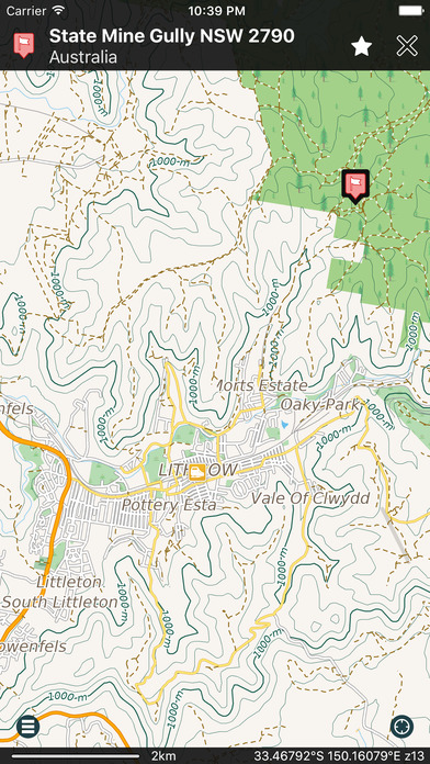
• An easy to use Off Road App with a detailed Australia wide topographical map • Works completely offline • NO data roaming charges • One seamless map covering all of Australia, to 1:10K scale with 10m Contours!
• Beautiful Retina quality map at a fraction of the size! The fastest and most detailed offline map of Australia
• No additional maps to purchase, it’s all included!
• No map changing, no map layers, just one easy to use seamless map.
• Access your map offline anywhere in Australia - saves on data roaming costs!
• Personalise the map to show the info you want!
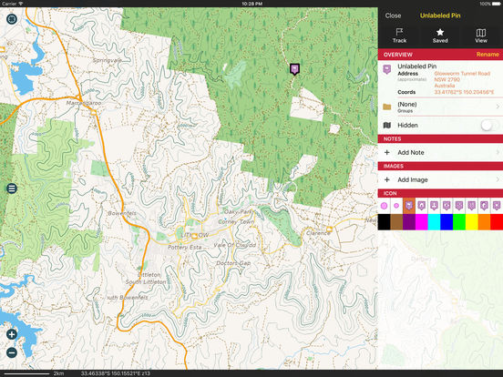
• Customisable Pins (waypoints) and favourites groups! Add notes and mark and share your favourite spots!
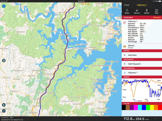
• GPS track recording lets you see what route you took! Great for hikes, cycling and off road! Never get lost again!
• Import/Export support for GPX and CSV files! Share with friends using Email, iTunes or simple data sharing.
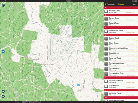
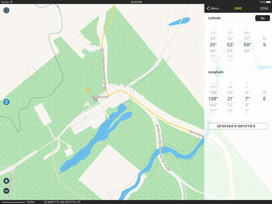
• Displays and lets you search for map coordinates (including DD, DDM, DMS, MGRS, Grid References and more).
• Numerous GPS settings for your preferred configuration including compass and heading arrow or rotation, look ahead mode, accuracy and recording settings.
• Navigation Dashboard displays current speed, altitude, direction of travel, distance to go, current position, etc.
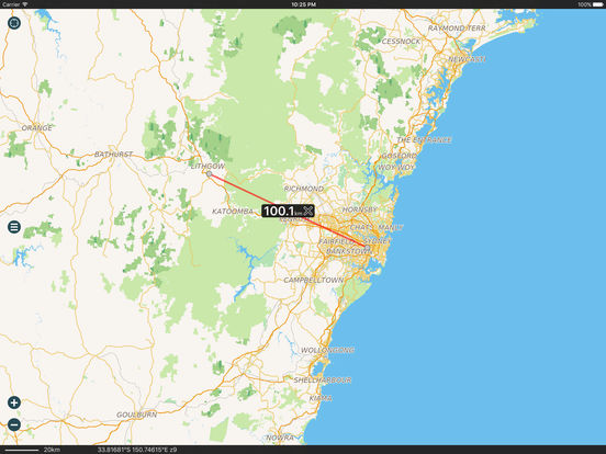
• Easy to use two finger distance measuring tool.
• Help manual built in.
• Map data supplied by Map Data Services, GeoScience Australia.
...and much more - so try it out!
Don’t forget this:
Note: Continued use of GPS running in the background can dramatically decrease battery life.
*If you have a Wi-Fi only iPad an external GPS receiver must be used to track your location.
iPhone Screenshots
(click to enlarge)


iPad Screenshots
(click to enlarge)
App Changes
- January 16, 2017 Initial release
- June 15, 2019 New version 1.1
- June 15, 2019 Price decrease: $64.99 -> $49.99
- June 16, 2019 Price decrease: $64.99 -> $49.99