
What's New
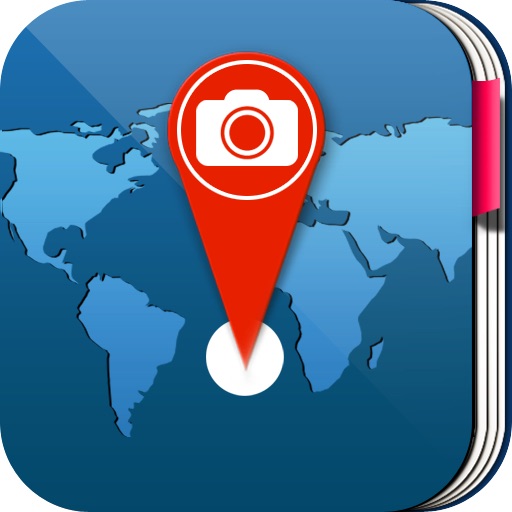
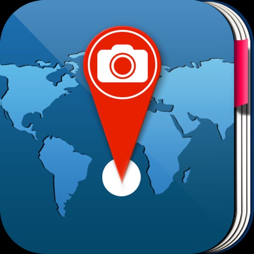
Now you can take photos with trip info (location, altitude, date and time)
App Description
Optimized for iPhone 5,5S , iPhone 6, iPhone 6 Plus. iPhone 6S .6S Plus iPhone SE iPhone 7. 7+
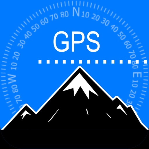
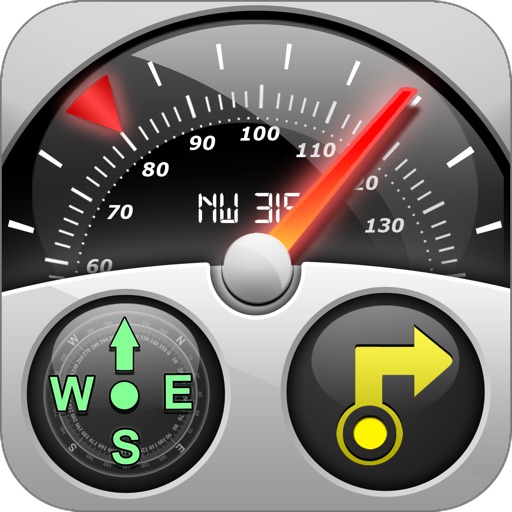
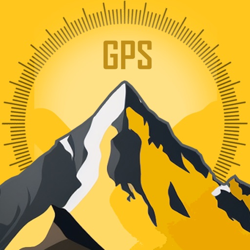
Modern Altimeter GPS+ app is for folks who care for hiking and biking in mountainous terrain. GPS is getting very accurate in terms of distance indication. The choice between unit system is perhaps an important thing, just for your convenience the app is being equipped with both of them (Imperial and Metric). Surprisingly strong barometer measures the weight of the air pressure above a given point and determines elevation of two points.
This app has a creative and user-friendly style design, simple and comprehensive functionalities. Features included
- Imperial and Metric unit settings.
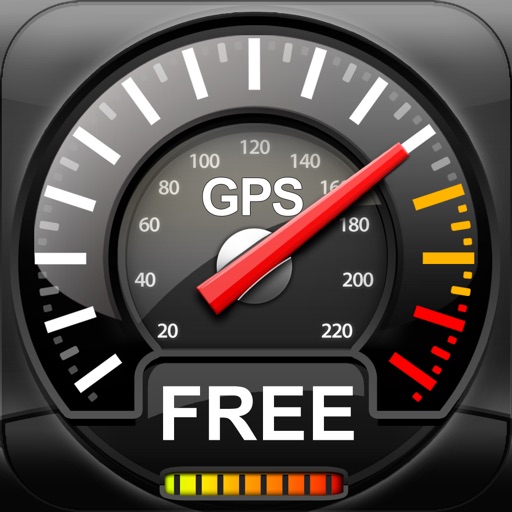
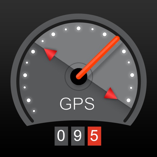
- GPS accuracy indicator.
- GPS distance accuracy indicator.
- Density of air , indicator.
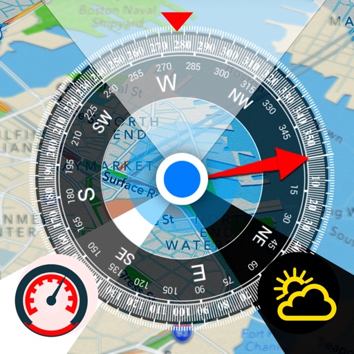
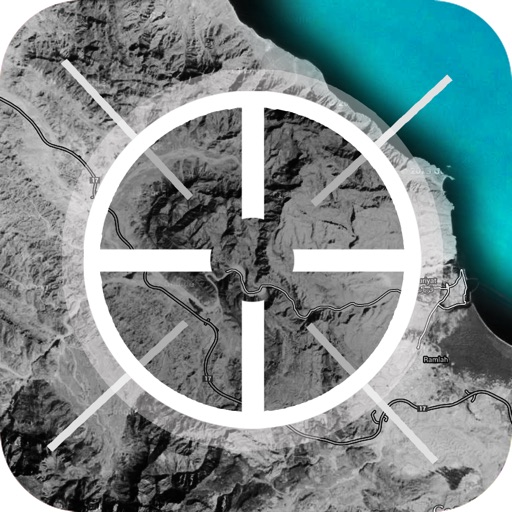
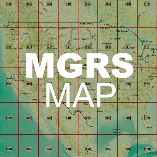
Map integration
-IOS nad GOOGLE maps
- Satellite maps mode.
- Hybrid maps mode.
- Standard maps mode.
- Tracking location changes trajectory.
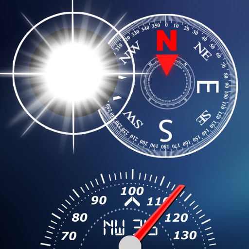
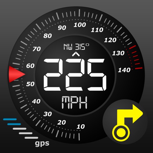
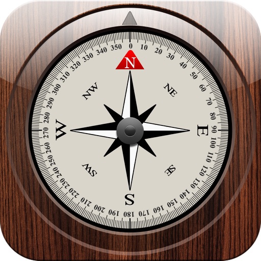
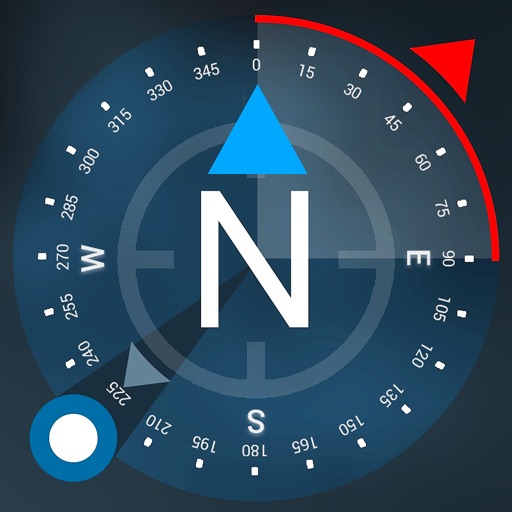
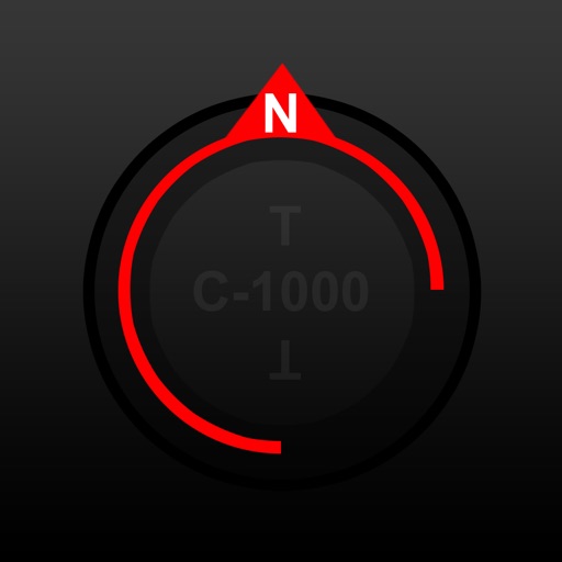
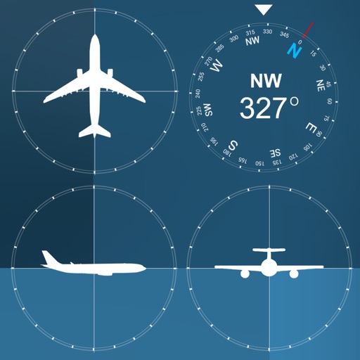
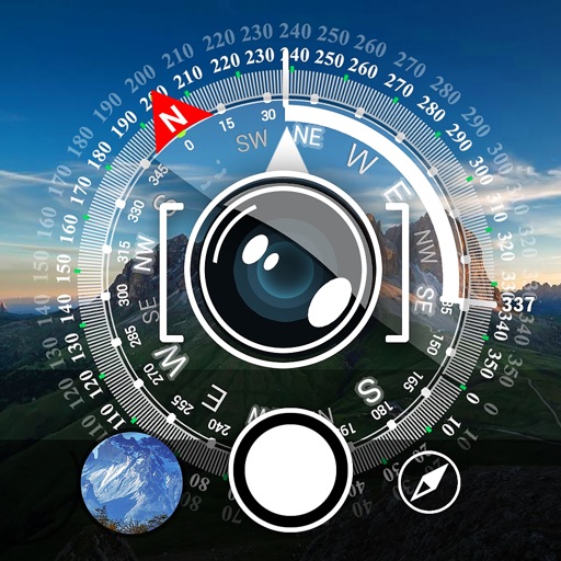
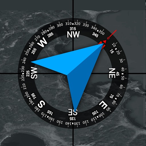
Compass
- Location coordinates (longitude, latitude).
- Course
Track information
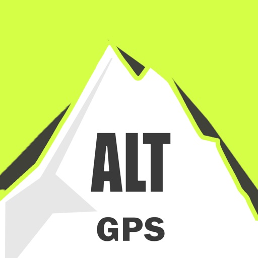
- Max Altitude
- MIn Altitude.
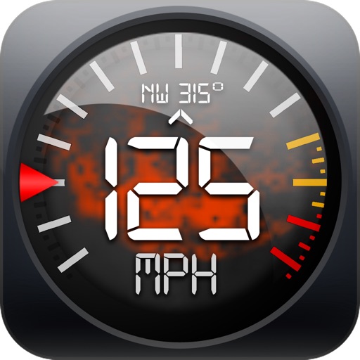
Tracking
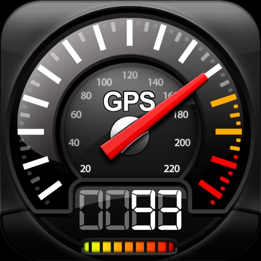
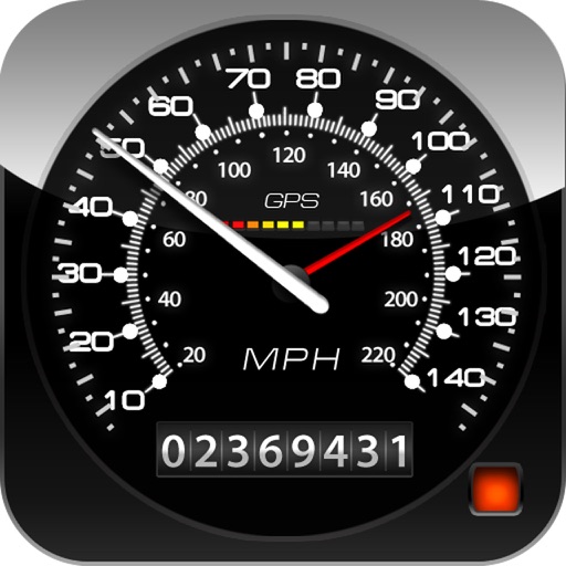
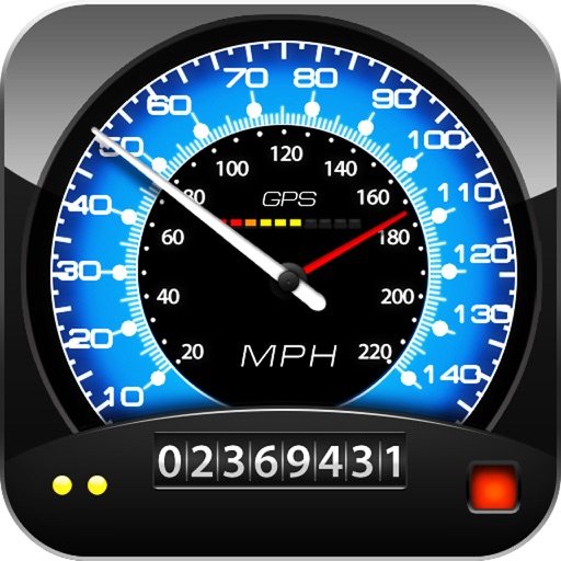
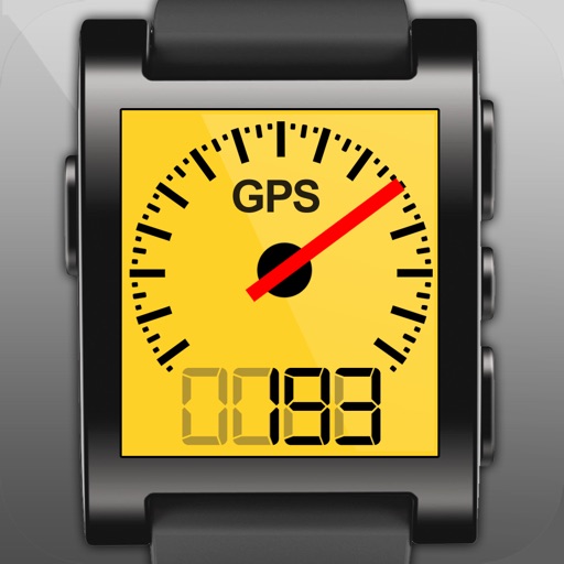
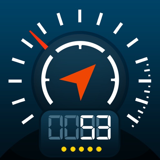
- Speed tracking in mph or km/h based on MPH or KM/H mode.
- Distance tracking in miles or kilometers based on MPH or KM/H mode.
- Longitude, latitude coordinates.
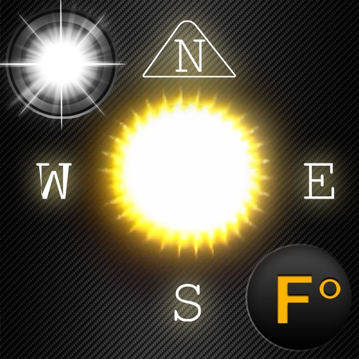
Weather
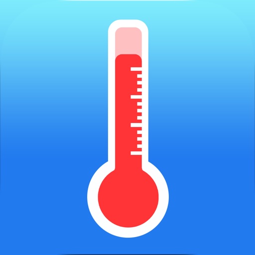
-- Temperature information.
-- Wind
-- Visibility
-- Sunrise,Sunset
-- High/Low Temperature.
-- Ability to switch between Celsius and Fahrenheit.
iPhone Screenshots
(click to enlarge)


App Changes
- November 07, 2016 Initial release
- December 13, 2016 New version 1.5
Other Apps From Tigran Mkhitaryan