
What's New
Fixes issue where when keyboard was activated could not scroll to national forests at the bottom of the list.
App Description
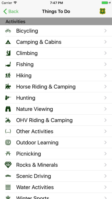
Explore this app to find recreation opportunities at the Rocky Mountain Region’s 17 national forests and 7 national grasslands. Find hiking trails, campgrounds, picnicking areas, maps, passes and more. This app's mapping features make it easy to locate outdoor recreation opportunities near you, explore new places and get ideas for your next visit.
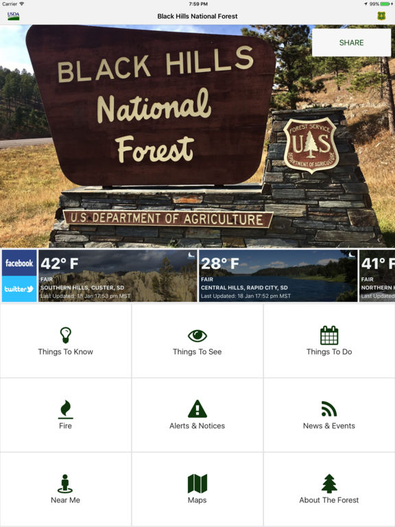
National Forests & Grasslands in the Rocky Mountain Region receive millions of visits each year. This mobile app allows those visitors to easily find information about each Rocky Mountain Region national forest & grassland in one location on their mobile device.
Here are some ways of using this app to ensure you're taking advantage of the tools and information available:
EXPLORE
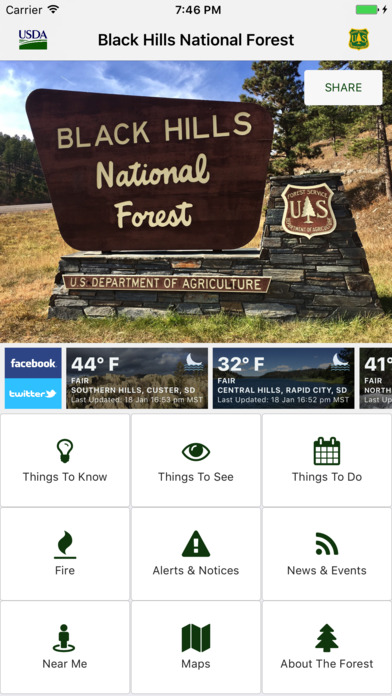
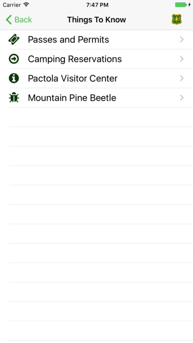
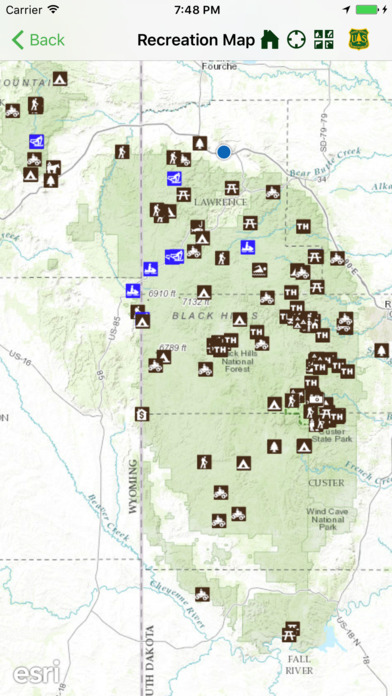
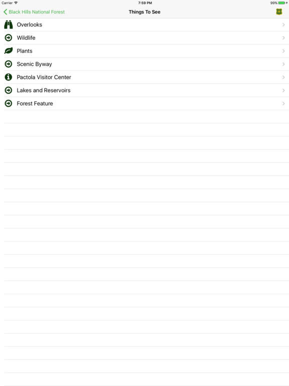
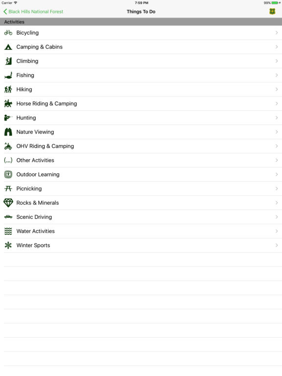
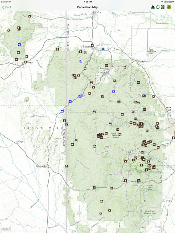
Search for specific recreation opportunities on each forest. Zoom in on maps and easily navigate to find information about thousands of recreation sites. Find and download detailed maps to prepare for your trip. Find written driving directions to the trail or campground.
BE PREPARED
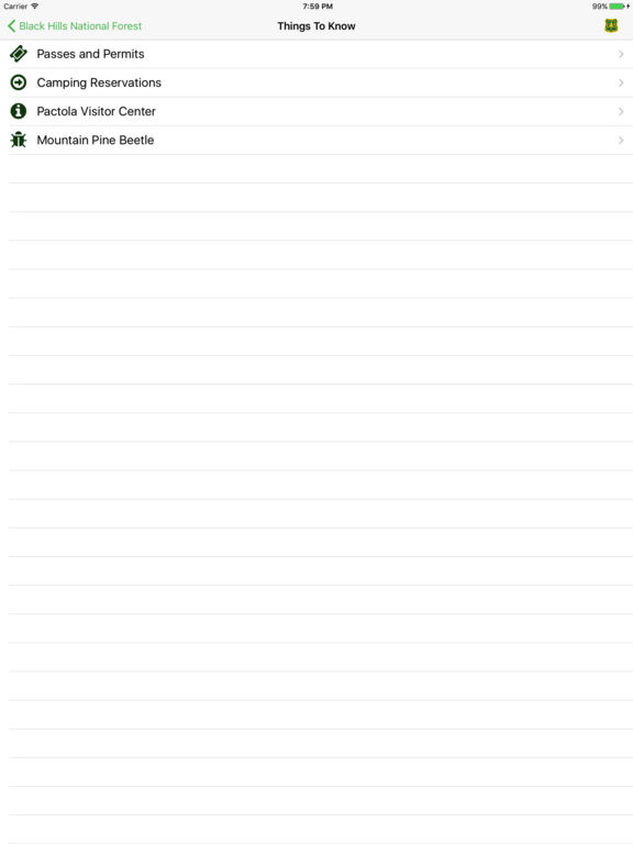
Find available current conditions before you go, so you can be prepared to have a safe experience. Each forest & grassland on the app provides news, alerts and updates on closures areas and other safety information. Learn how to contact individual forest offices directly.
HAVE FUN!
Your Rocky Mountain Forests & Grasslands are some of the most unique and special places on earth. They include breath-taking vistas, wild rivers, open grasslands, forested slopes, high mountain lakes & scenic routes.
The Rocky Mountain Region’s 17 national forests and 7 national grasslands units in this app include:
• Arapaho and Roosevelt National Forests and Pawnee National Grassland
• Bighorn National Forest
• Black Hills National Forest
• Grand Mesa, Uncompahgre, and Gunnison National Forests
• Medicine Bow–Routt National Forests and Thunder Basin National Grassland
• Nebraska & Samuel R. McKelvie National Forests, Buffalo Gap, Fort Pierre, & Oglala National Grasslands
• Pike–San Isabel National Forests and Cimarron–Comanche National Grasslands
• Rio Grande National Forest
• San Juan National Forest
• Shoshone National Forest
• White River National Forest
ENJOY
Your national forests & grasslands are here for you to enjoy. Discover the legacy of your public lands in the Rocky Mountain Region.
iPhone Screenshots
(click to enlarge)

iPad Screenshots
(click to enlarge)
App Changes
- January 23, 2017 Initial release
- June 13, 2019 New version 1.2
- September 16, 2023 New version 2.0.2
- November 15, 2023 New version 2.0.3
Other Apps From USDA Forest Service