
What's New
Update maps, addition of the Ferry map, updated the Trip Planner and generally made it faster and easier to use.
(And we've removed Uber because they had tremendous difficulty paying us!)
App Description
Easy to use Boston transit app with official MBTA maps. It's known locally as 'The T', not as the Boston Subway. All maps are offline (so you don't have to kill your data allowance), it loads quickly when a connection is hard to find and you need it most too.
Apart from the The T map there's also a wider ranging Boston Commuter Rail Map, Ferry Map and the officila MBTA Trip Planner that will tell you the best route and lowest cost of getting from A to B by train, bus, foot (or a combination of all. You choose!)
If you're living, working or just visiting Boston, Massachusetts then get this free app on your device now, for that moment that when you wished you had it now!
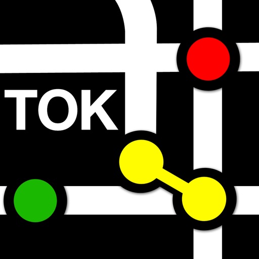
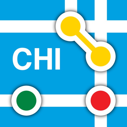
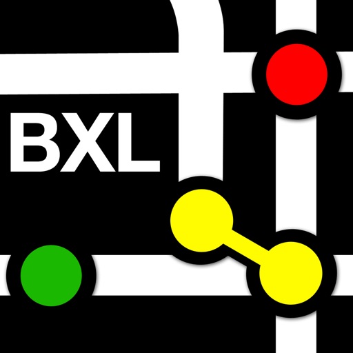
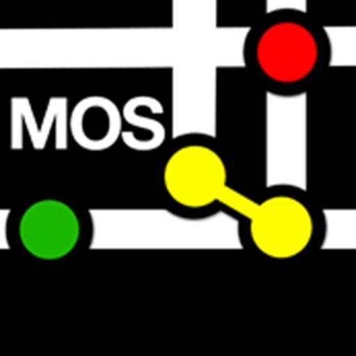
**For those of you that travel a little further we've also added access to all our other market leading subway maps such as New York, Chicago, Los Angeles, Montreal, London, Moscow, Amsterdam, Brussels, Hong Kong, Paris, Tokyo, Barcelona, Madrid, Valencia, Granada, Rio de Janeiro and Sao Paolo.
iPhone Screenshots
(click to enlarge)


iPad Screenshots
(click to enlarge)


App Changes
- July 07, 2016 Initial release
- August 20, 2016 New version 1.0.1
- November 12, 2016 New version 1.0.2
- June 15, 2019 New version 1.1.0
Other Apps From Playback Media