
What's New
fix rare error when app launched on an iPad while device was in landscape orientation
App Description
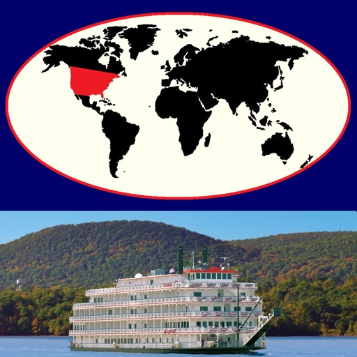
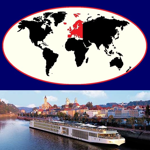
Our new zoomable 'River Cruises Atlas - Europe' is a specialized map atlas product that covers popular freshwater cruise ship ports (and related cruising and land destinations) on the major rivers of 'Europe' (from Portugal to the Black Sea) and is available in the languages of English [the Default], Spanish, French, German, Italian, Netherlands [Dutch], Portuguese (Europe), and Portuguese (Brazil). The app generates a series of custom real-time regional maps showing colored markers where popular cruise ports (and related destinations) are located. Also included are maps and facts for each of these ports [red & orange markers] and for related slow-cruising locations [blue markers] and nearby popular land destinations [yellow markers].
Using the 'RvCr-Eu' tab, select the region of general interest by tapping the desired area on the red map of 'Europe'. A list of available numbered destinations in that selected region will then be displayed, as well as a button to display an overview map of the selected area showing colored markers at the locations of all of the popular destinations in that area. Tap the name of the desired destination in the list to display a detail map of that destination.
If you give permission in the Privacy Settings of your device, this version will also show your current location on the maps as a pulsating blue circular marker. If you adjust the map being displayed, your current location will be automatically updated using your device's GPS location.
Easily switch between 'Road', 'Hybrid', or 'Satellite' maps, and zoom in (and out) to any detail level desired -- down to the house level! Change to a different area of focus with the drag of a finger and your display is instantly updated.
Tapping a 'Facts' Button, when shown, displays extensive relevant interactive descriptive information from Wikipedia. By following indicated links, more facts and photos are available in a specific areas of interest.
Using a new 'Settings' tab, you can select the GPS Coordinates format to be displayed on all maps, or omit it. Three different popular display formats are supported: Traditional [dddmmss.xx], Modern [ddd.xxxxx], and Geocaching [dddmm.xxx]. As you drag or zoom on a map display, the GPS coordinates of the center of the display are automatically updated.
Tap the camera icon to quickly capture the created map image to your device's Photo Gallery. [Later you can print or share this image with others via Facebook, Twitter, Flickr, or email using the Apple-provided 'Photo' app.]
iPhone Screenshots
(click to enlarge)


iPad Screenshots
(click to enlarge)


App Changes
- September 13, 2015 Initial release
- October 17, 2015 New version 7.3.1
- June 13, 2019 New version 8.1.0
Other Apps From Henry Vaughan